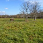
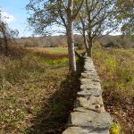
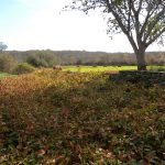
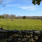
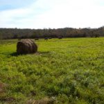
The Protected Property contains mainly mixed grasses in the interior with herbaceous and woody vegetation along property borders. The Protected Property is surrounded by deciduous wetland and upland forest to the east. northeast, and southeast, agricultural land immediately north and south, and medium density residential development to the west.
Based on the examination of historic aerial photography, it appears that the Protected Property has a long history of agricultural use, dating back to at least 1939. Periodic aerial photography from 1952, 1962, and 1972 show a similar use for pasture or hay. In a wetlands map from 1989, the Protected Property was mapped as Scrub-Shrub Wetland.
Conservation Easement given by Dorothy H. Osborn, Lawrence C. Taggart, & Alison B. Barone on December 31, 2012.
Total Acreage:
4.375
Restriction Type:
Conservation Easement
Date Completed:
December 31, 2012
Conservation Values:
open space, wildlife habitat, scenic vista, agricultural use
Property Type:


