Conservation Values:
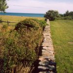
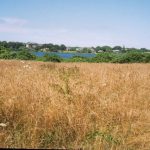
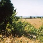
- contains pasture and wooded brushland along Round Pond,
- located within a Non-Community Wellhead Protection Area, as designated by the RIDEM Office of Water Resources,
- within the Little Compton Agricultural Lands Scenic Area, as designated by the State of Rhode Island,
- adjacent to a State-designated greenway,
- in close proximity to other protected conservation land; immediately adjacent to land protected by the Audubon Society of Rhode Island and the Rhode Island Department of Environmental Management,
- drains directly into Round Pond, which is designated as ‘Conservation Water’ by the RI Coastal Resources Management Council,
- contains land classified as an ‘AE’ flood zone, or High Risk Area, by the Federal Emergency Management Agency, and
- contains approximately 3.12 acres (83 %) of soil mapped as containing Canton and Charlton fine sandy loams, which are limited in their use for agriculture and community development by stoniness and rock outcroppings; the remainder of the Protected Property is mapped as Pittstown silt loam, a Prime Farmland Soil for Rhode Island.
A Conservrion Easement was given by Carolyn B. Haffenreffer on December 20, 2001.
Total Acreage:
3.74
Restriction Type:
Conservation Easement
Date Completed:
December 20, 2001
Conservation Values:
open space, agriculture, adjacent to waterway, adjacent to other conserved properties, scenic vista
Property Type:


