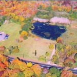
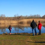
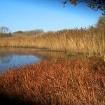
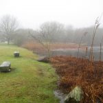
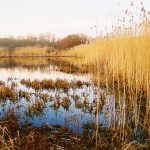
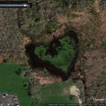
Based on the examination of historic aerial photography, the property was farmed until sometime after 1962. Although the eastern portion of the lot may have had some drainage issues during the wet season, early aerial photographs (1939 and 1952) show the property as dry agricultural land, likely used for hay and/or pasture. Aerial photos taken in 1972 show major changes to the property; the northern two-thirds of Lot 16 were excavated to create a pond with two upland islands in the northern portion. Dundery Brook, which feeds this man-made pond, was further channelized down the eastern property line to a crossing under Meetinghouse Lane.
It is intended that the property will be forever maintained as publicly accessible open space. The Sakonnet Preservation Association is dedicated to preserving the rural character and natural resources of Little Compton for the lasting benefit of the community.
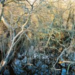
The property is located in Little Compton, Rhode Island on the northern side of Meetinghouse Lane. The property is surrounded by deciduous forested wetland to the north, northwest, and south, and scrub-shrub wetland to the east. Fill placed on this property and adjacent properties allows for commercial land use immediately east and west along Meetinghouse Lane.
The property was purchased by the Sakonnet Preservation Association in 1981 from Manuel and Jennie Camara.
Total Acreage:
3.3
Restriction Type:
Fee Simple
Date Completed:
July 31, 1981
Conservation Values:
public access, wetlands, wildlife habitat, recreational area,
Property Type:


